
Upon arriving at “Hiker Heaven“, I was greeted by one of many dutiful volunteers with the oh-so-fitting phrase, “Welcome to paradise”. At mile 454.5 in Agua Dulce, California, a family named the Saufleys coordinates a sort of oasis for PCT hikers, where anything and everything a hiker could need is provided to them without any expectation of reimbursement. There is a laundry station with fresh towels and loaner clothes to be worn while one’s filthy hiking clothes are being washed; a garage converted into a make-shift post office and information center; an entire back-building with full kitchen and bathroom, piano and guitars, couches and TV, Wifi, sewing machine, bookshelves full of adventure literature and guidebooks, and 2 bedrooms; 8-person tents in the yard with cots and hammocks for lounging and sleeping whenever under the shade of a few sizeable pines- you name it, they’ve got it covered. Seeing as this is their 18th year of hosting PCT hikers, they’ve got it down to a science. To the PCT hikers that stay here for a night or two, nothing could bring more respite from the exhaustion and isolation of the trail. To me especially, that feeling of gratitude and admiration is endless when compared with the apparent lack of formal trail angels I experienced during my thru-hike of the American Discovery Trail. I had so many random strangers and friends of friends help me throughout that first adventure, but the embrace of the PCT trail community, the meticulous planning done by those behind the scenes, and the shear number of people involved with ensuring the success of all PCT thru-hikers is overwhelming to say the least. This is what I had imagined hiking a long-distance trail would be like, and then some. As I sit here at the internet station in Hiker Heaven, my focus falls mainly upon the similarities and differences between my American Discovery Trail hike and the experiences I’ve had so far on the Pacific Crest Trail.
The Trail
The most obvious difference between the ADT and the PCT is the ground on which I walk. Where the ADT is formed by a patchwork of roads and trails that provide the thru-hiker with a blend of the most phenomenal natural and man-made panoramas, the PCT consists of one single footpath that winds through the undulating hills and remote mountain tops of California. The trails are pretty aptly named if you think about it- the American Discovery Trail allowed me to learn about how this country is formed by the collective cultures and histories of each town, county, and state and how they all intertwined over time to create the good-ole’ USA we know and love today; the Pacific Crest Trail, on the other hand, has offered me the opportunity to explore some of the most stunning and precious bits of wilderness this side of the Mississippi, and to learn about the importance of conservation in the midst of constant human pressures.

Starting at the Southern Terminus at the Mexican Border Near Campo
My daily routine is somewhat similar, considering the majority of my days is spent just moving forward, but being so high in the mountains has brought some new challenges with which I am still learning to adapt. Because the PCT is designed for both foot and equine travel, the path is gently graded and the climbs and descents are rarely very steep or rocky, but this makes for some pretty long routes up and down the mountains with tons of switchbacks and winding turns amongst its many contours. The high elevation means less oxygen for my muscles to use, and sometimes leads to snow even through the middle of the summer. (look for the hiker in the picture below)
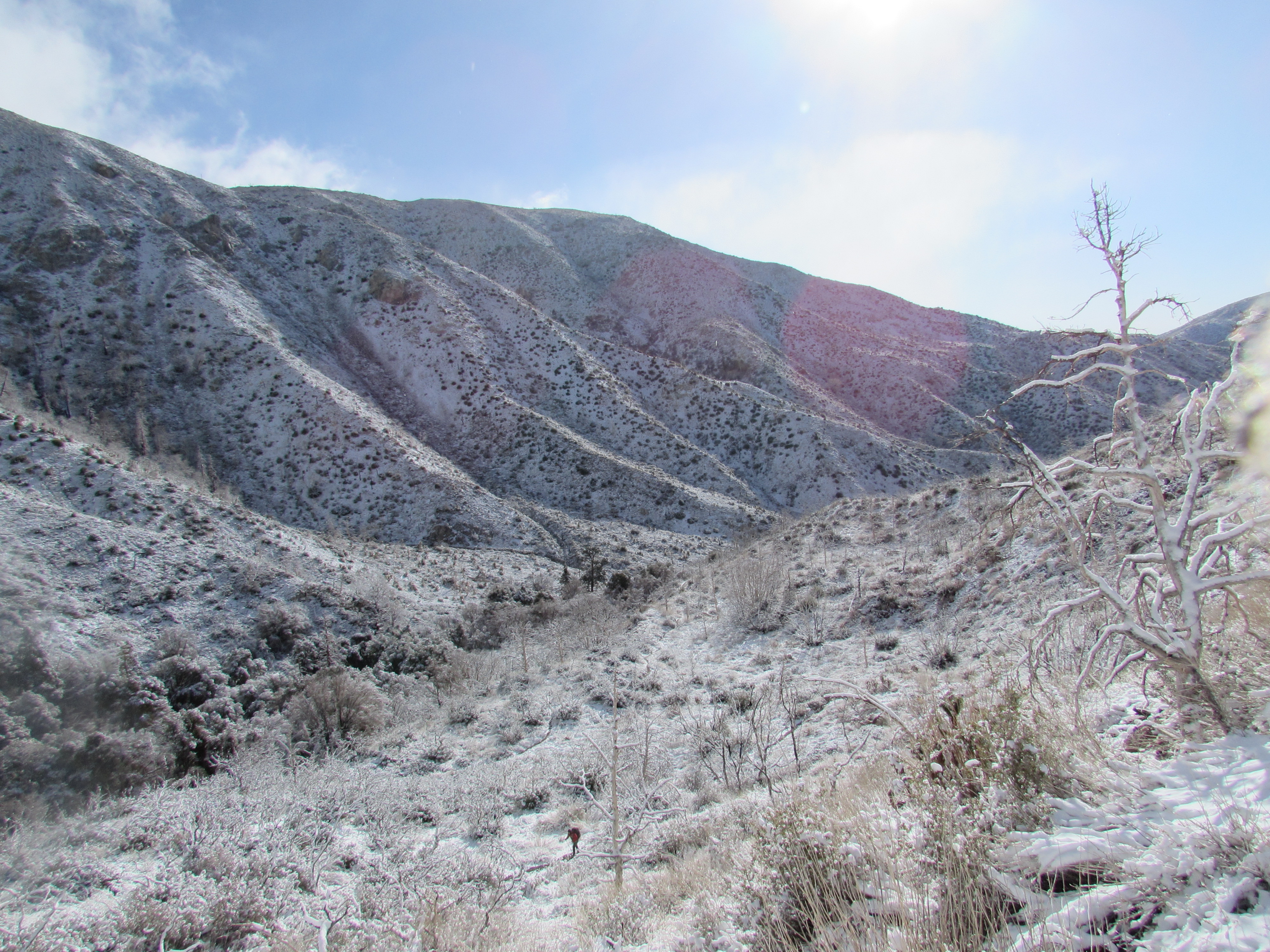
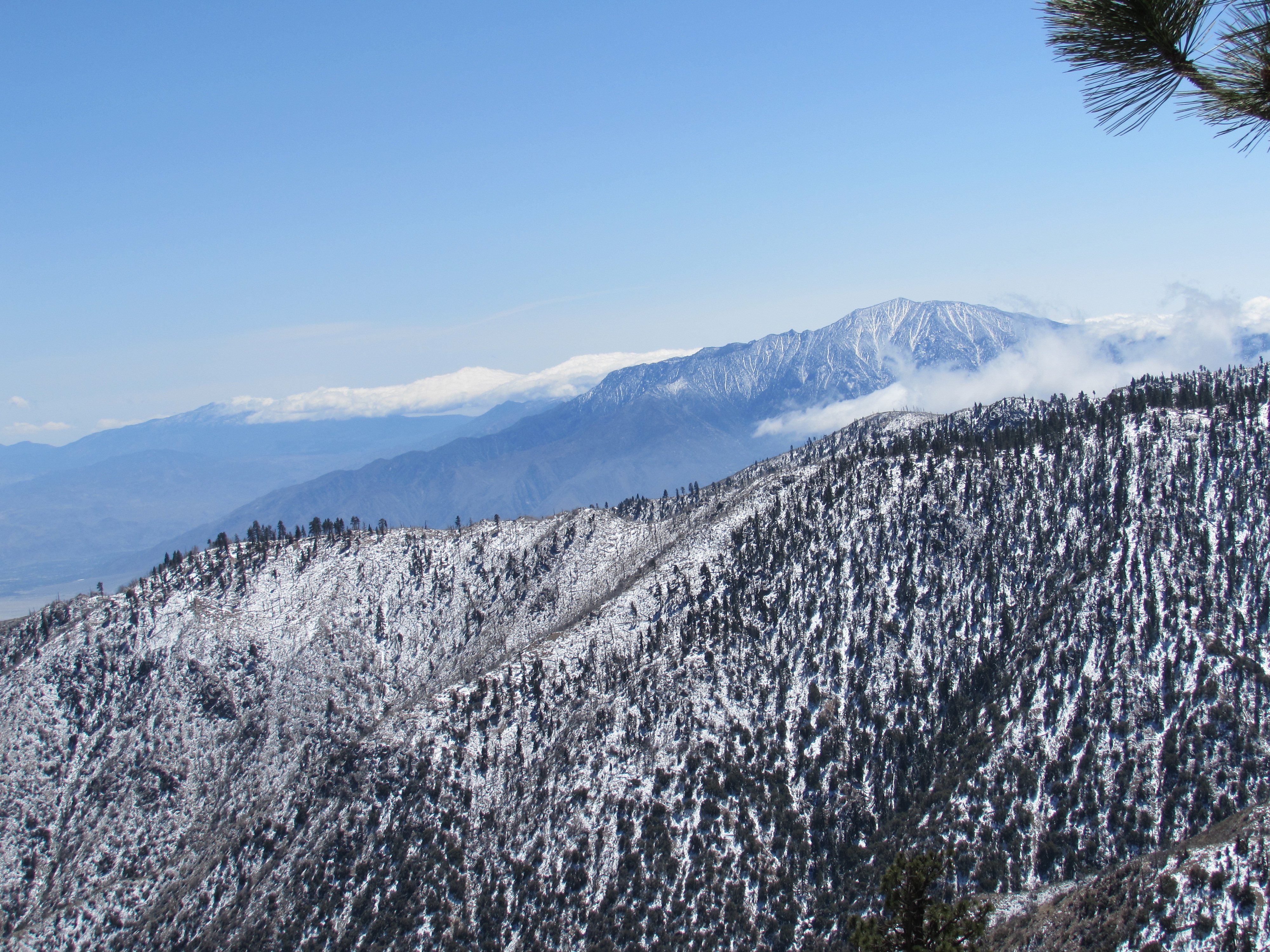
Snow on Mount San Gorgonio
The wide variety of wildlife really makes for some great photo opportunities, though. I am not experienced enough to identify any of these species, but I can certainly appreciate their beauty and the role they play in balancing the ecosystems they are apart of.
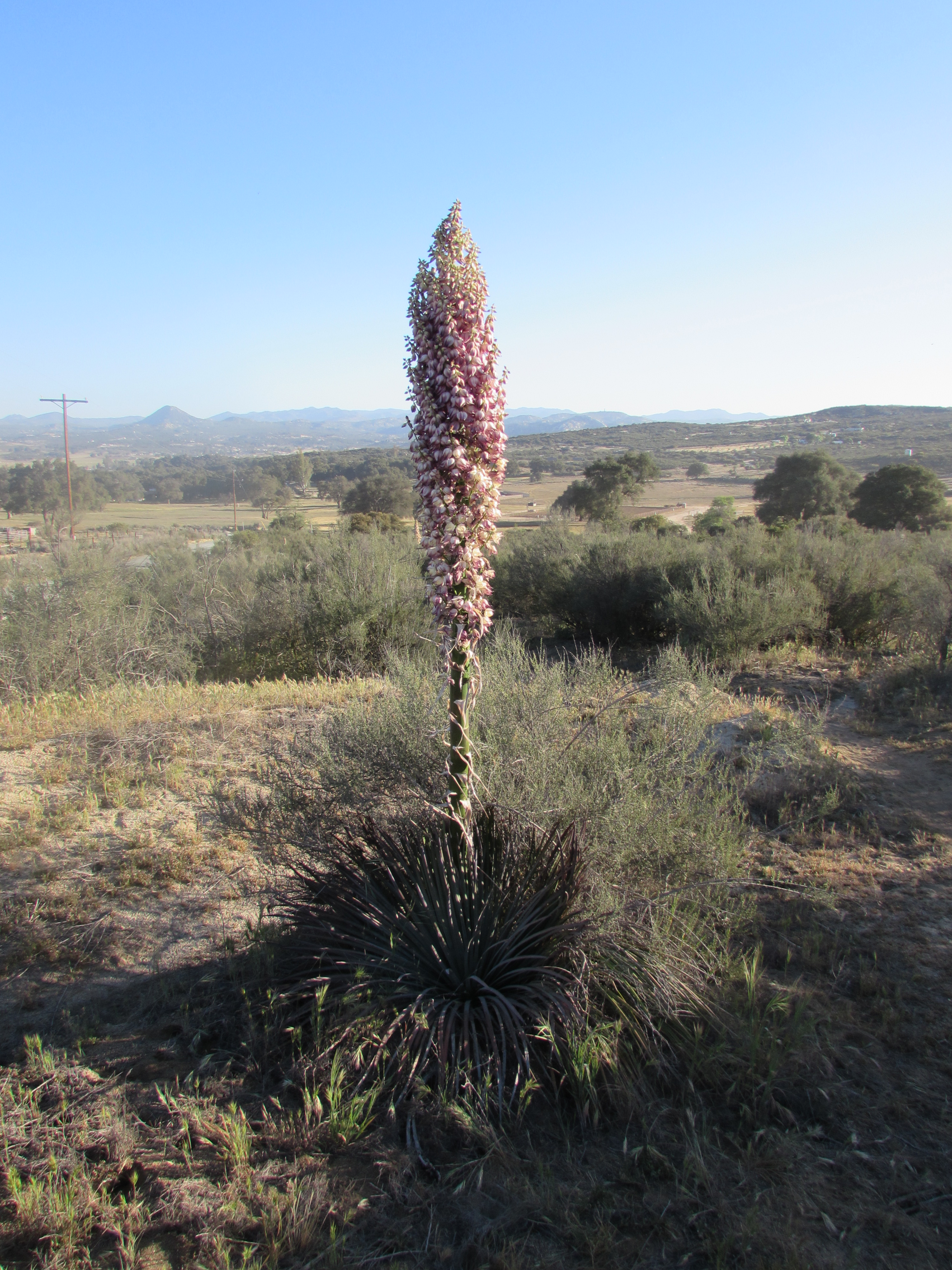
Mature Yucca Outside Campo
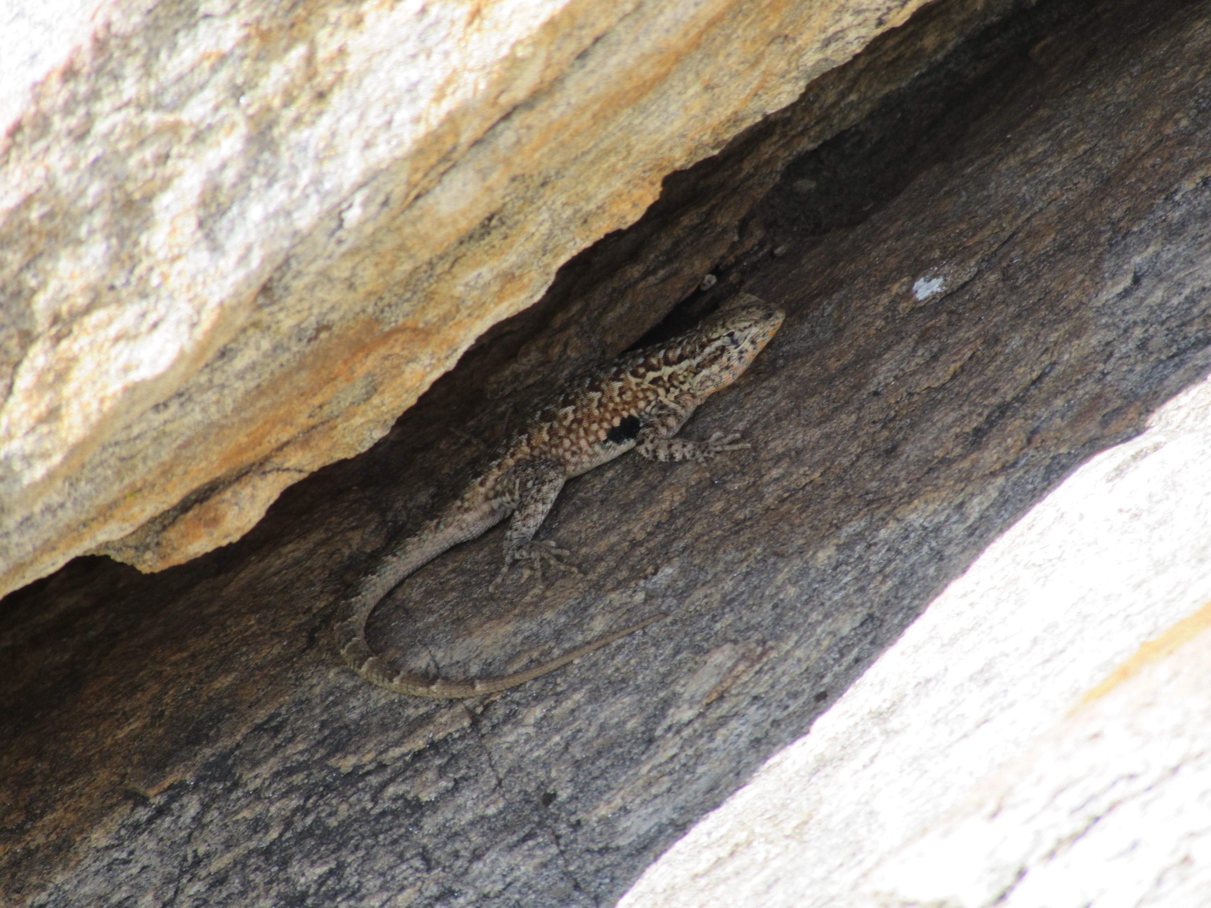
Western Side Blotched Lizard Outside Campo
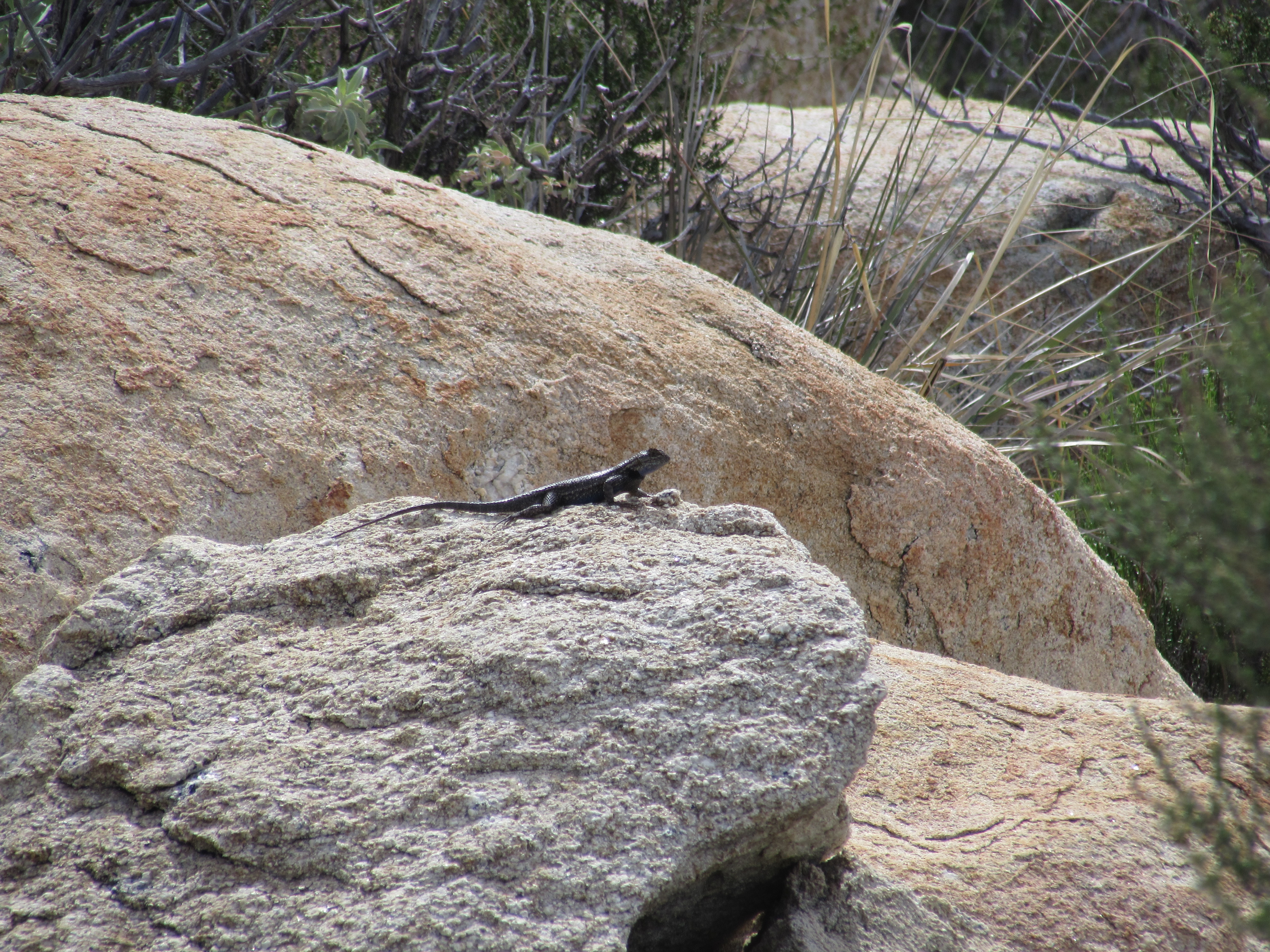
San Jaoquin Fence Lizard Outside Campo
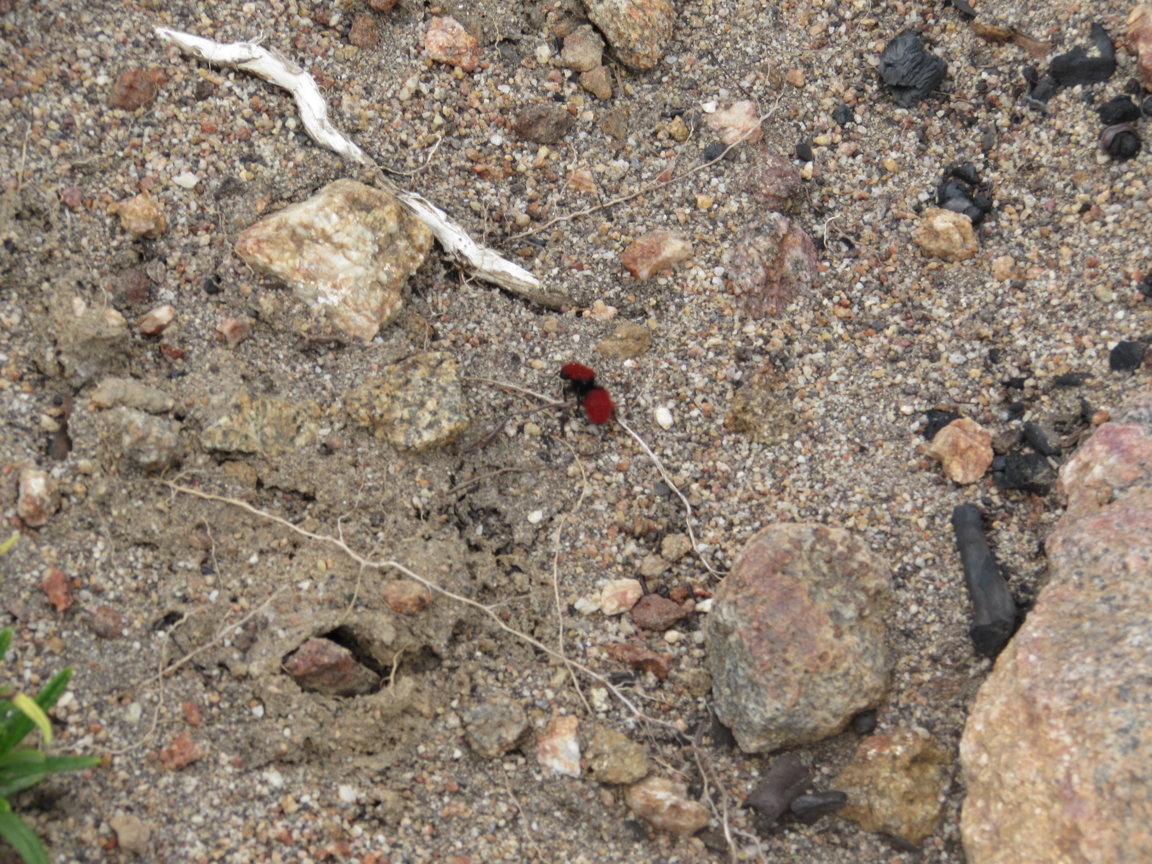
Red Velvet Ant in Campo
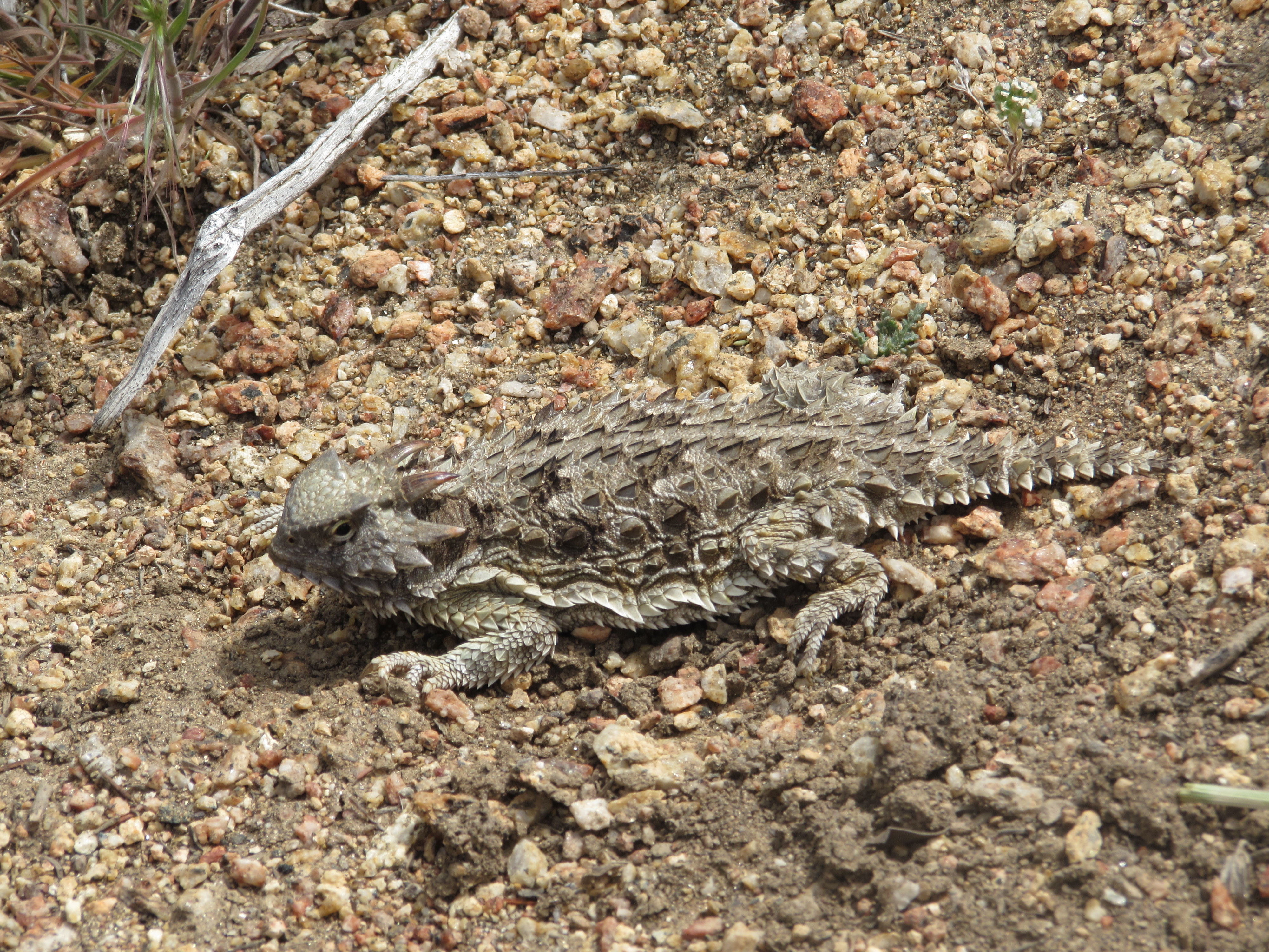
Desert Horned Lizard Outside Mount Laguna
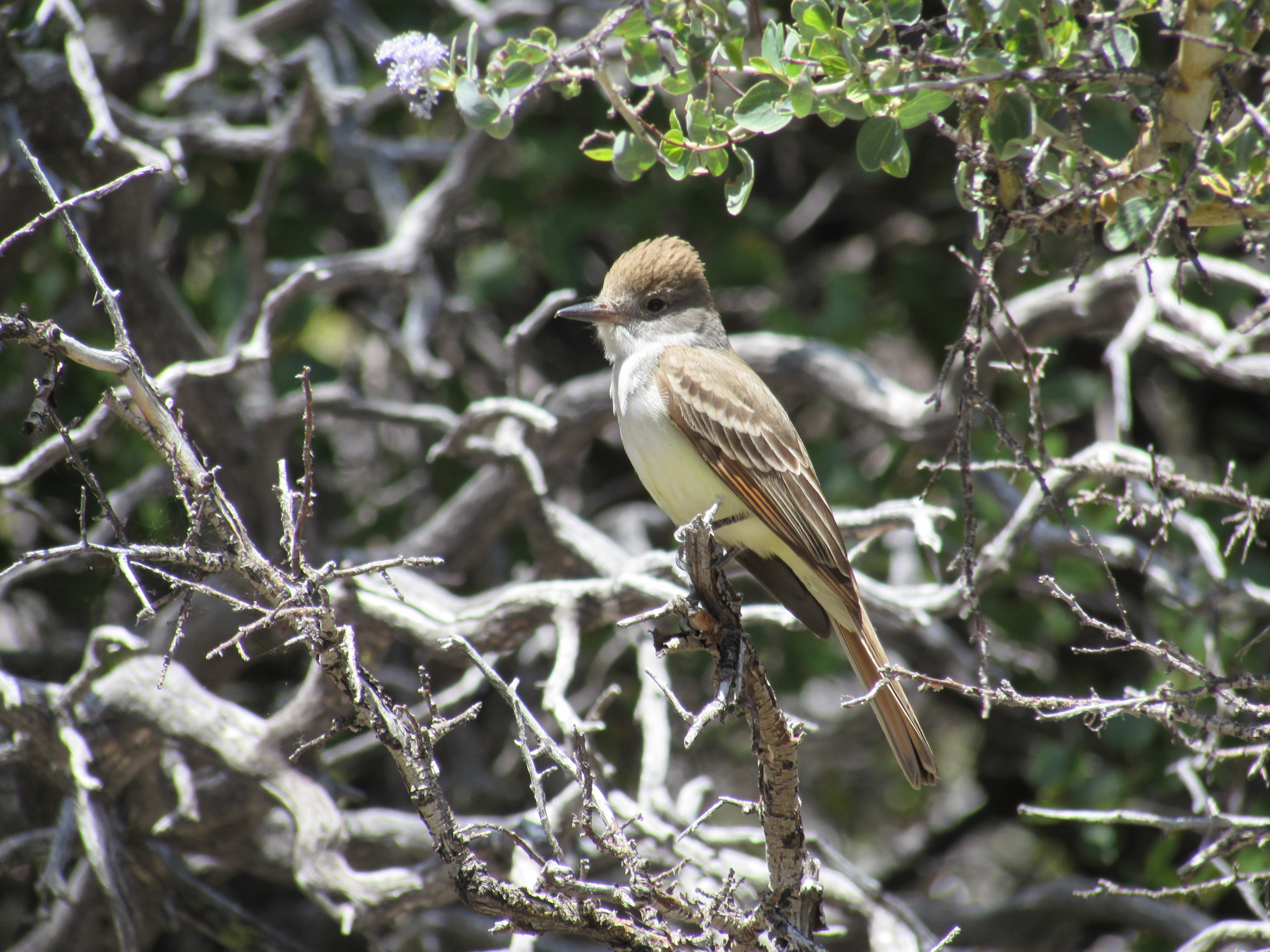
Ash-Throated Fly Catcher Outside Idyllwild
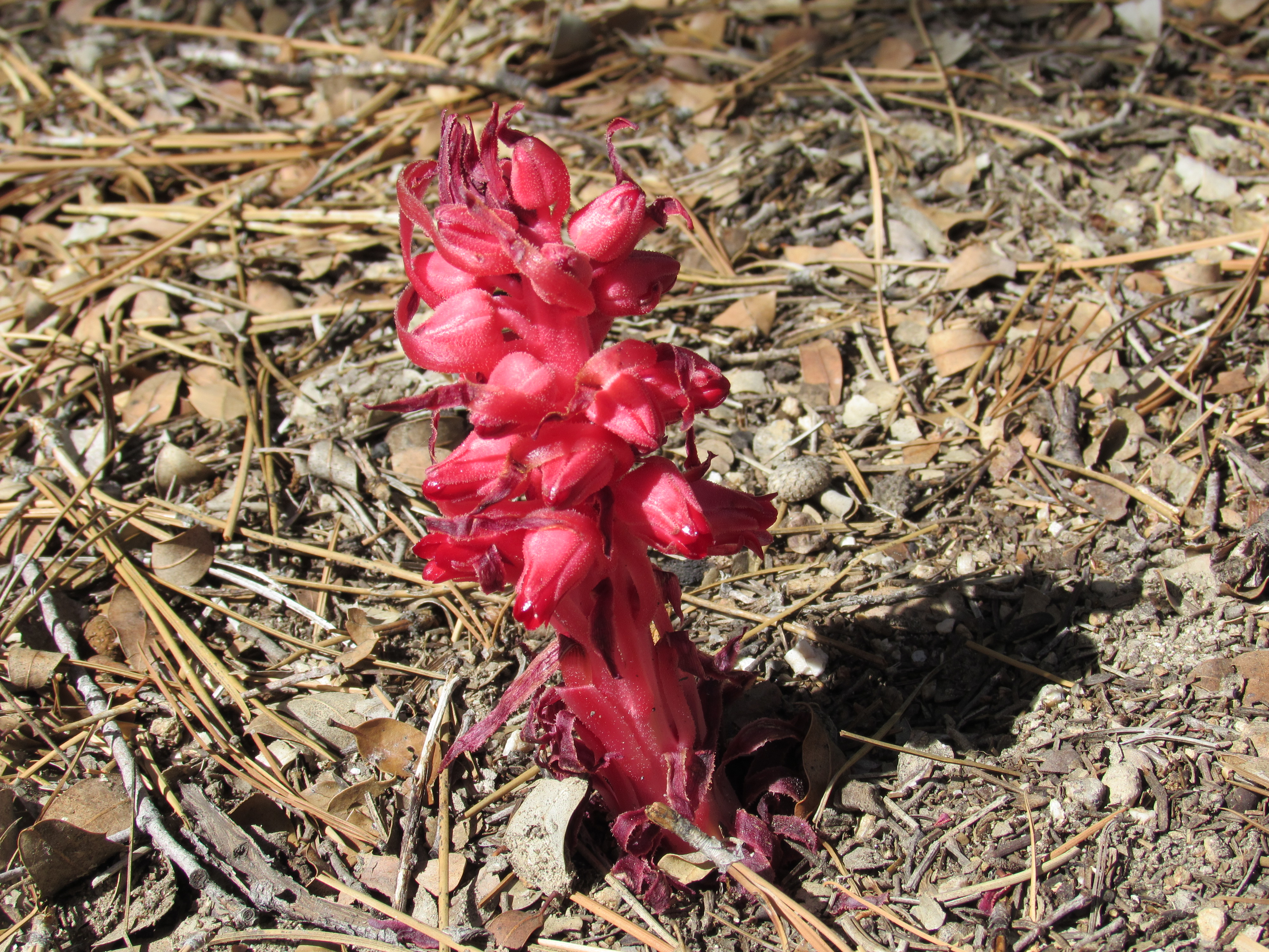
Snow Plant on Mount San Jacinto
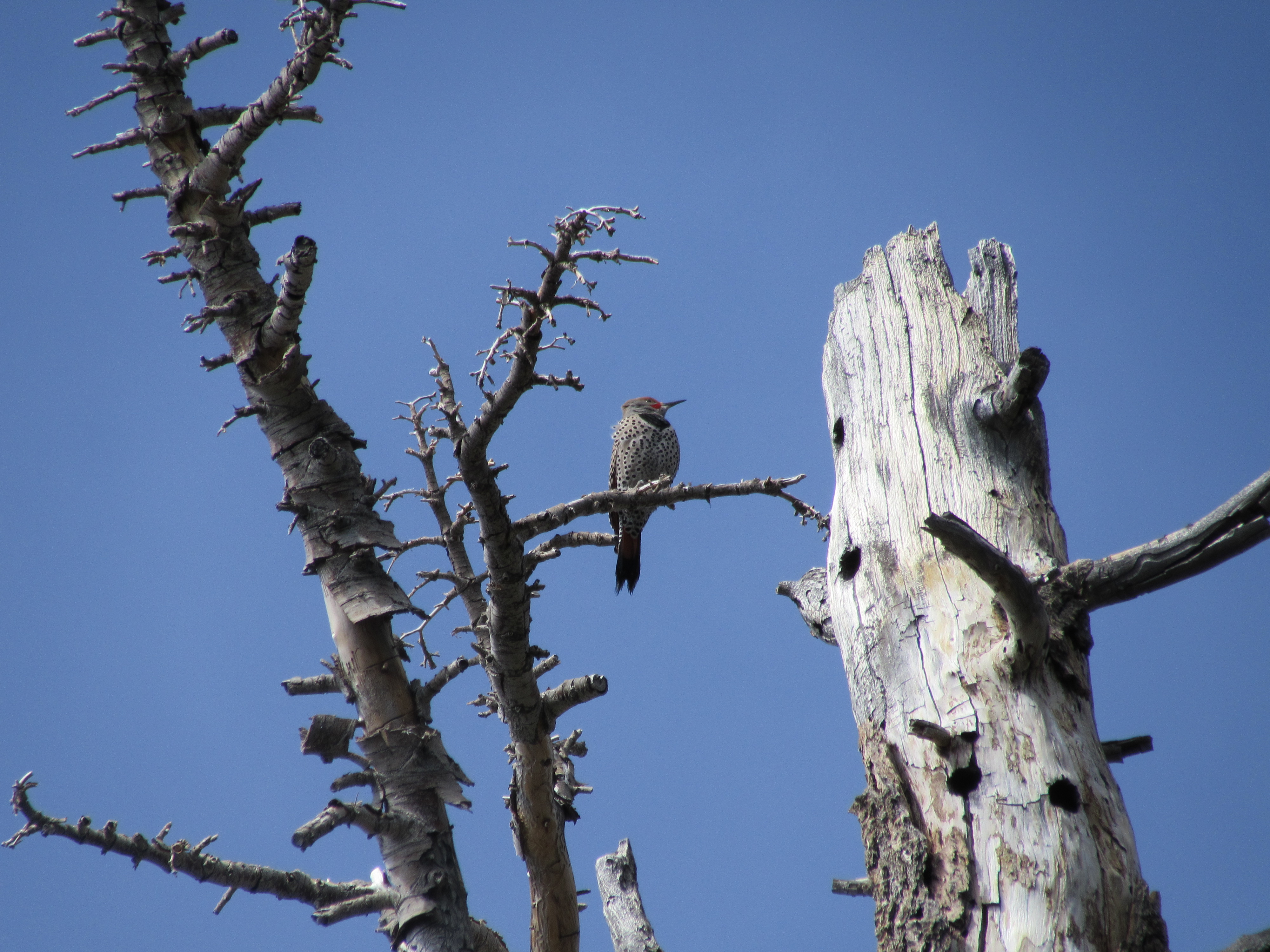
Gilded Flicker on Mount San Jacinto
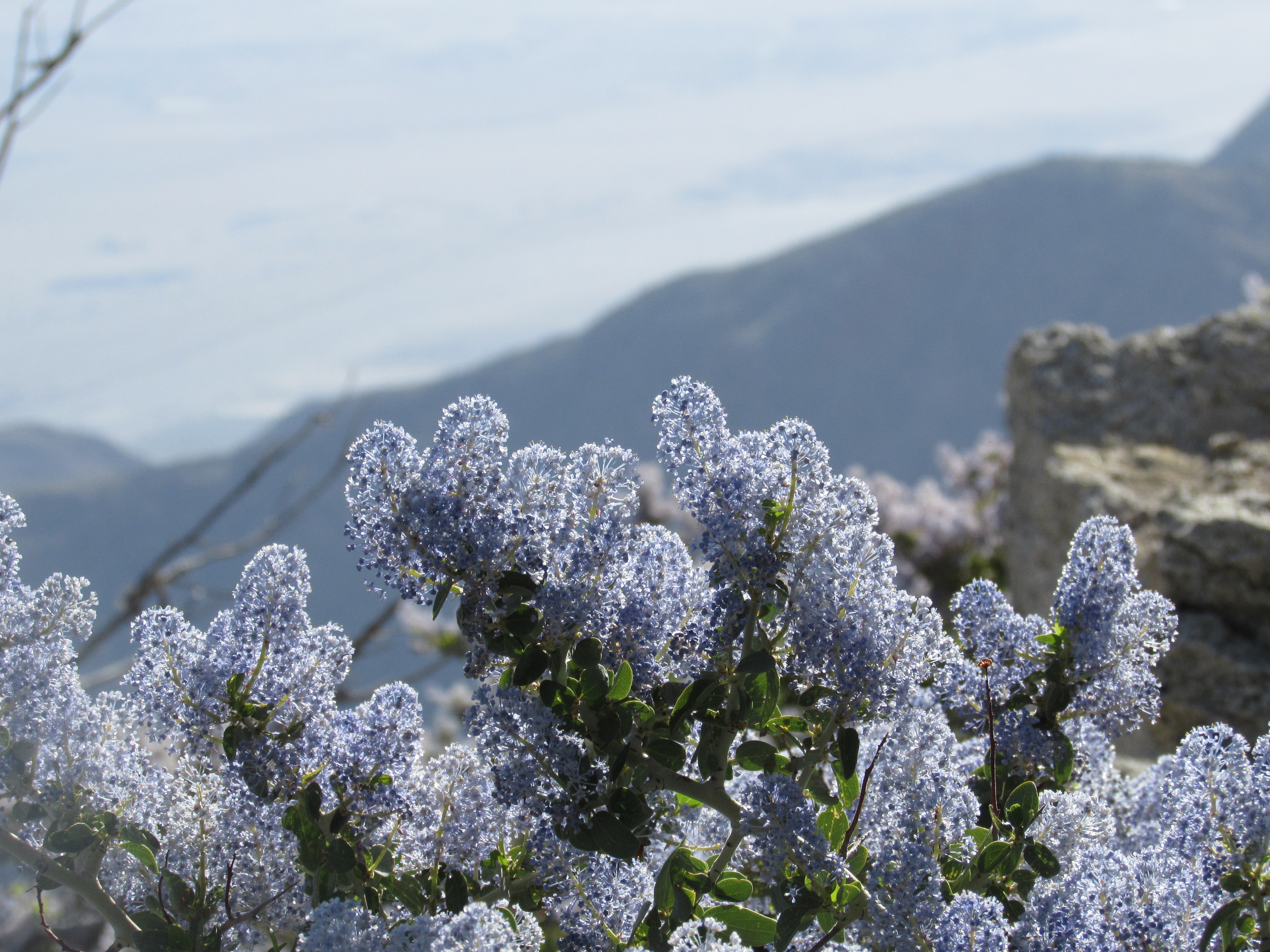
California Lilac on Mount San Jacinto
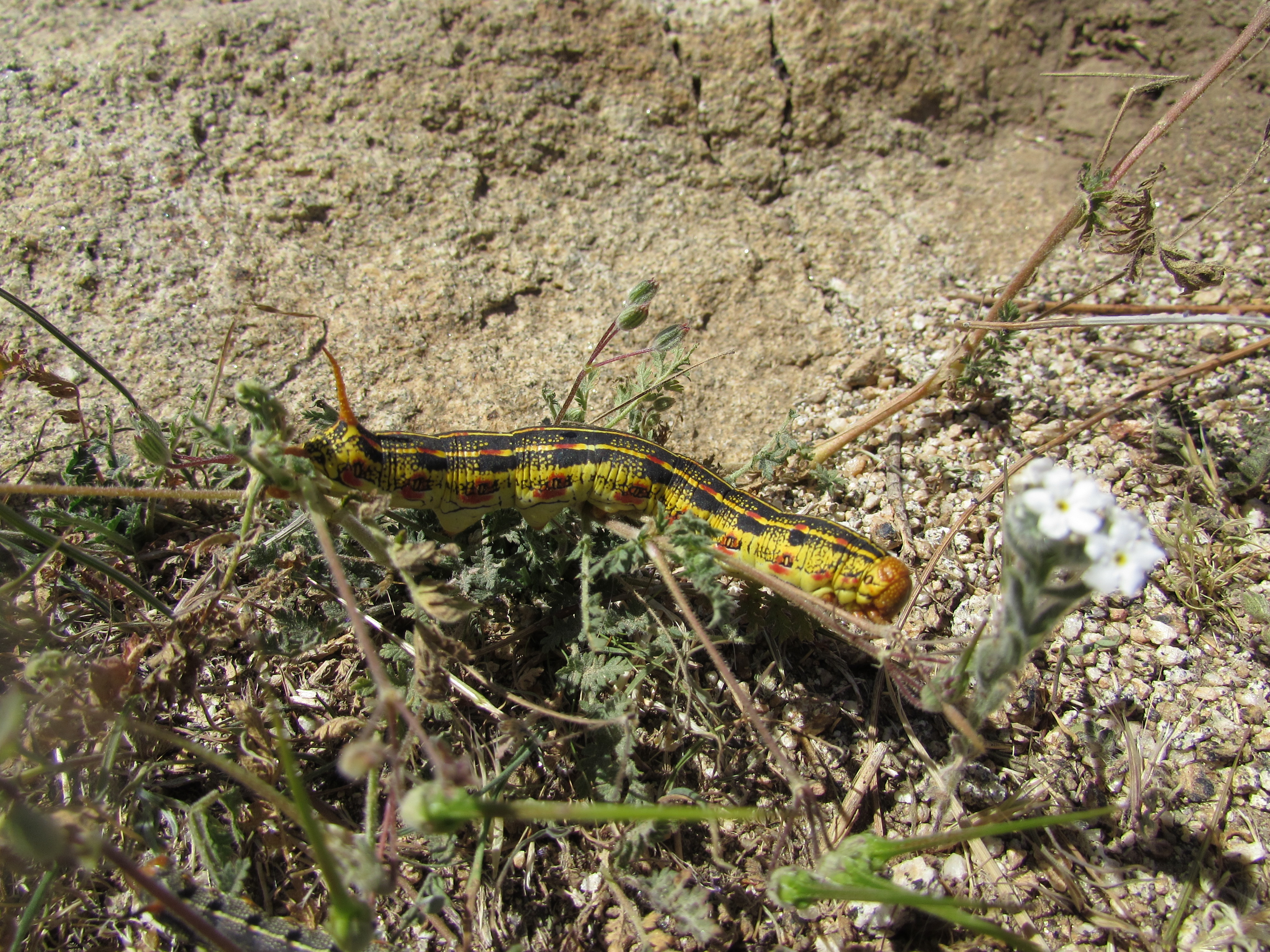
Caterpillar on Mount San Jacinto
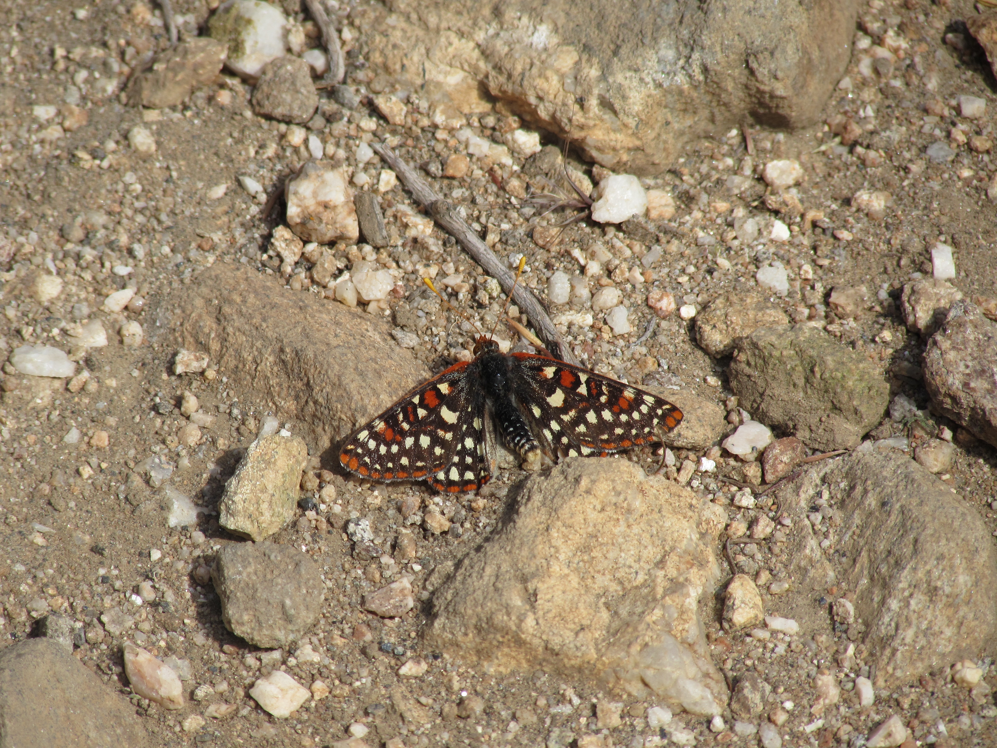
Western Checkerspot Butterfly on Mount San Gorgonio
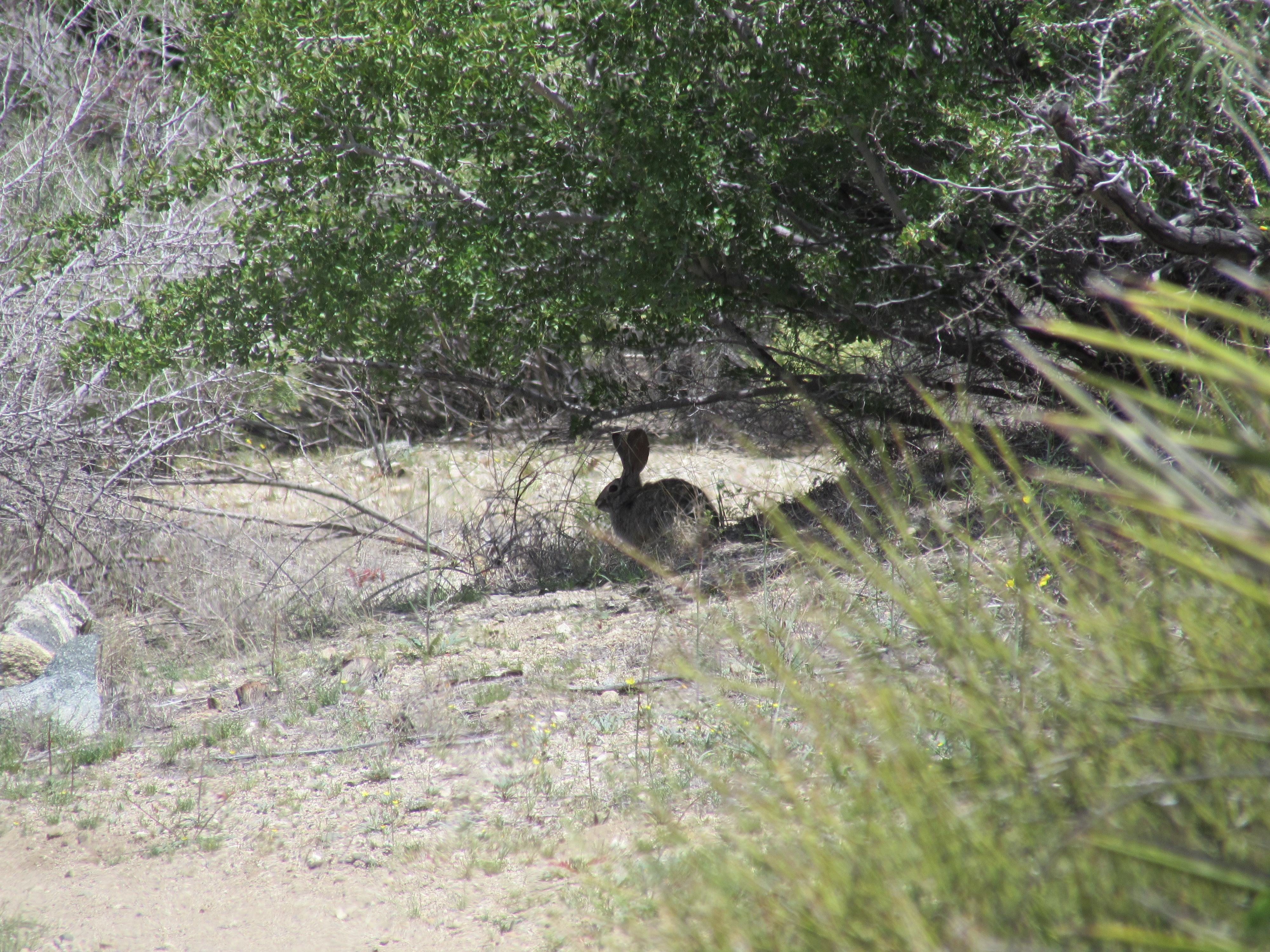
Desert Hare on the Way up Mount San Gorgonio
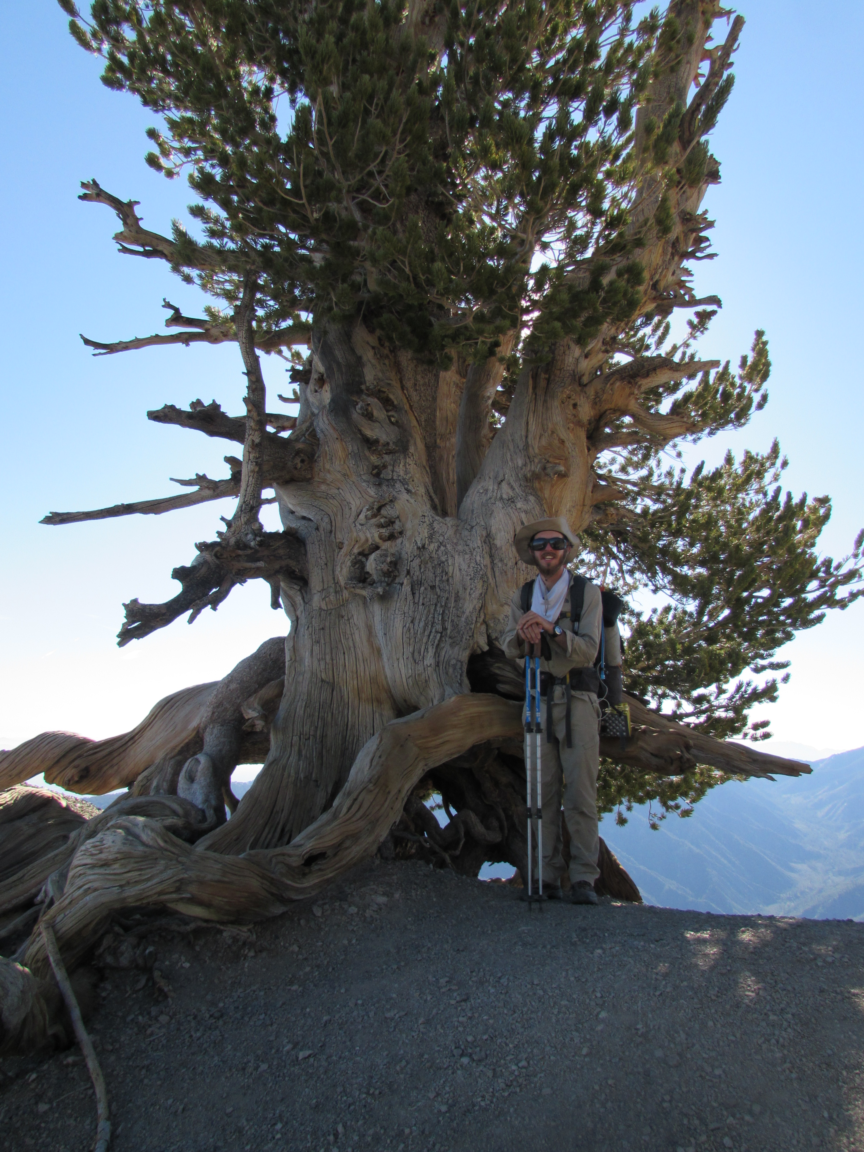
Wally Waldron Tree on Top of Mount Baden Powell
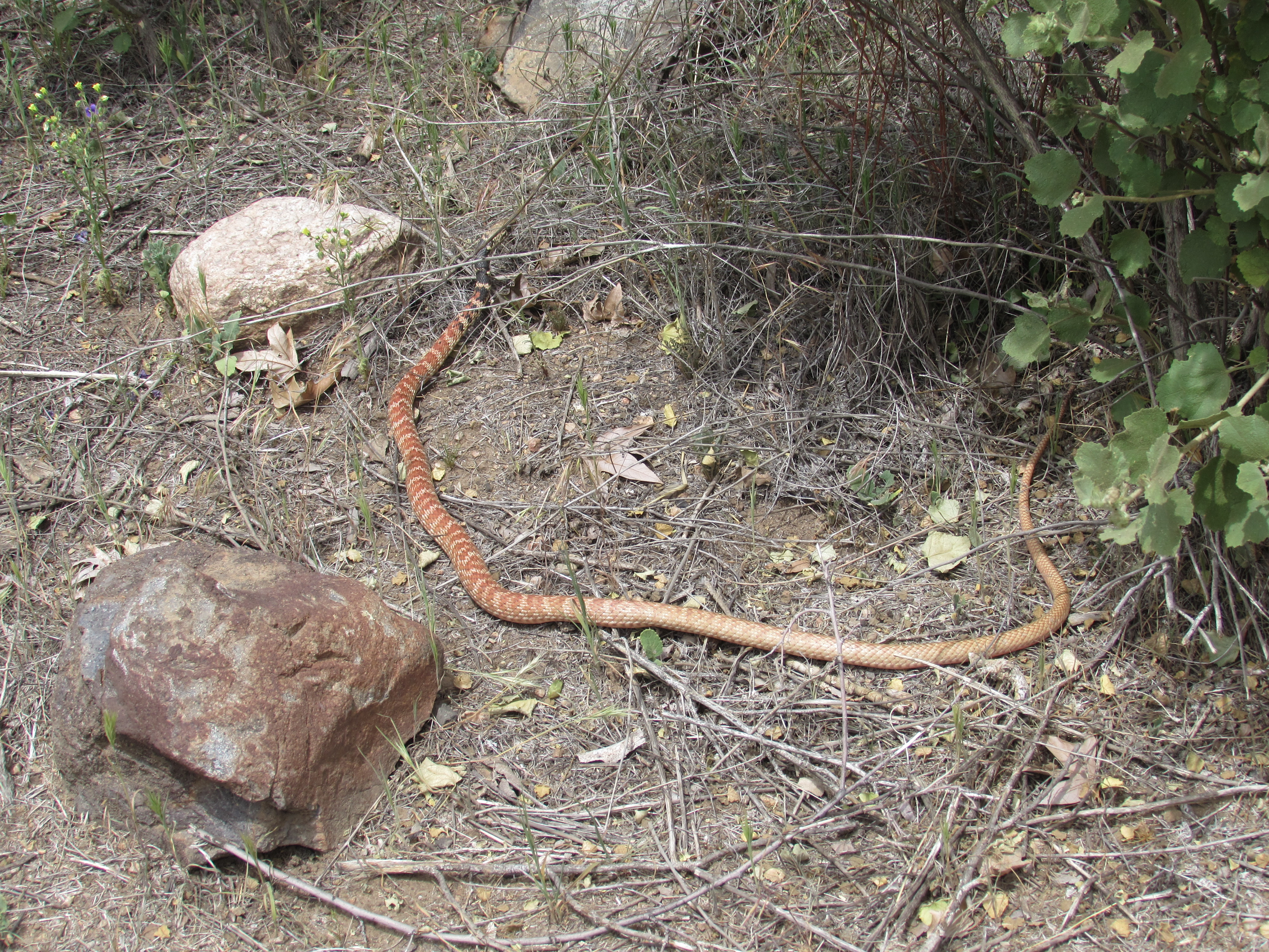
Red Racer Snake at Vasquez Rocks in Agua Dulce
Even if I can’t identify everything I see, it does help to know what is most important to watch out for. I have yet to see a mountain lion or a bear, but they are out here and I have already heard stories of spottings and close-calls from some other thru-hikers. The most dangerous species I’ve seen so far is the poodle-dog bush (pictured below) which is commonly found in former burn areas here in Southern California, and can give you some pretty nasty rashes and blisters if you come in contact with it.
Poodle Dog Bush on Mount Gleason in the San Gabriel Mountains
The People
I try not to take pictures of other thru-hikers, mainly out of respect for their privacy, so instead I will just write about some of the more memorable characters I’ve met on the trail so far. In case you didn’t know, it is commonplace for thru-hikers to adopt a “trail name”. Sometimes these names describe some obvious physical trait, sometimes they tell a story, sometimes they are just a silly nonsense word that is easy to remember. Here are some examples: Dirty Girl, Glitter, Nature, Legs, Mr. Green, Miles, Wilderness Bob, Doc, Mowgli, Tarzan, Topo, Rewind, Rock Bottom, etc. Keep in mind that that list of names wouldn’t include all the names I would here even in a single day. Some names are crazy, some are funny, and some are meaningful, but all are memorable. That’s the point. My trail name is “Coaster” because of the coast-to-coast walk I did and because I walk slowly. but walk for a long time. The unofficial motto of every thru-hiker is “hike your own hike” and we all do just that. Some folks carry 60+ pound packs and walk an average of 10 miles a day, others carry only 15 pounds and walk 30-40 miles a day. Some carry light packs and walk few miles, some carry heavy packs and manage to keep their average above 25 miles a day. Everyone does it differently, but ultimately we are all walking the same trail and I have yet to meet a thru-hiker and won’t jump at any opportunity to be helpful in whatever way they can. We all eat like garbage disposals and most of us have gotten lost at some point or another, but the challenges we face bind us all together. I could go on for days about every one of the people I’ve met, but I’ll save that for the Dudetrek book if it ever comes around.
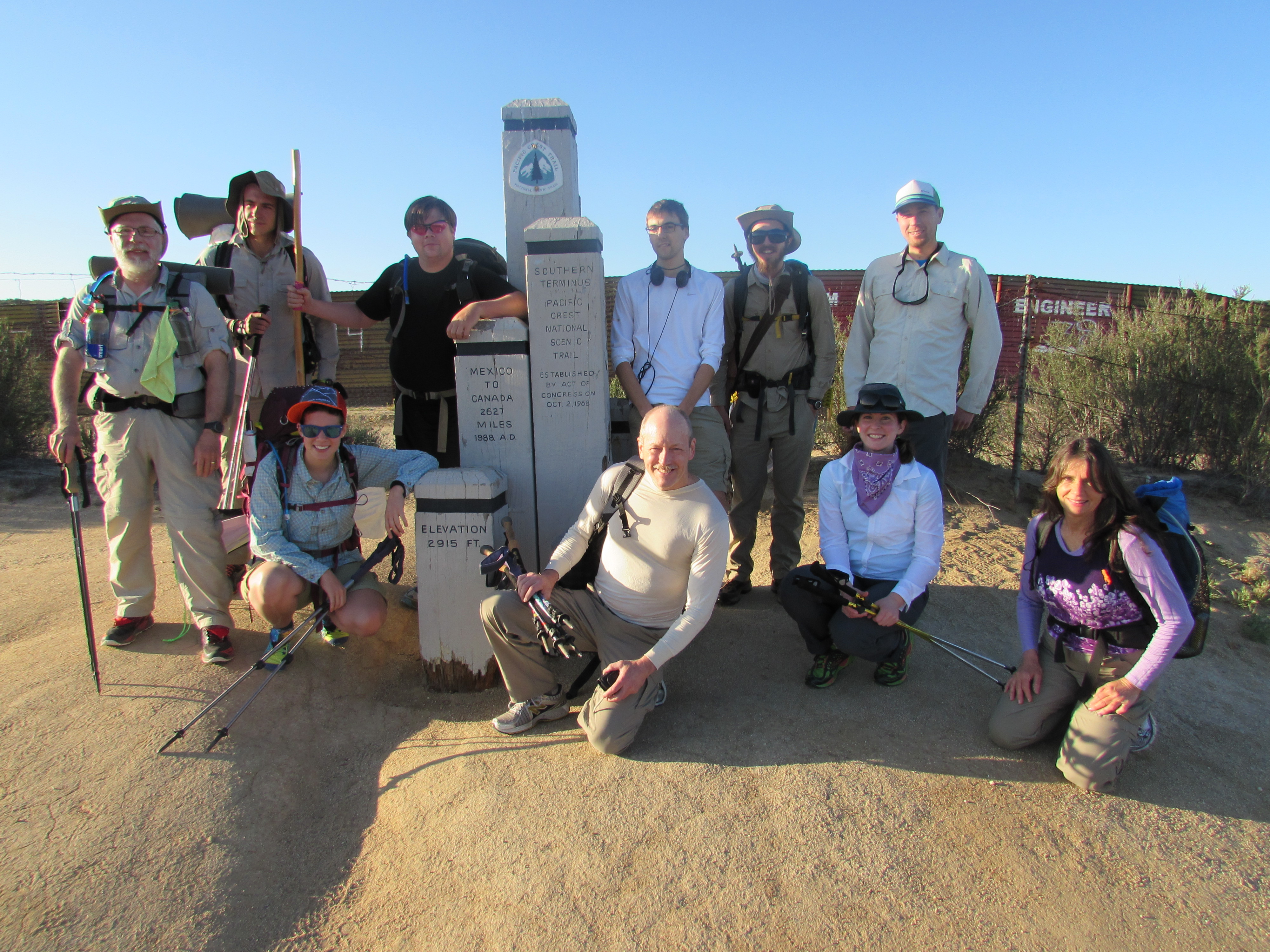
Gang of Hikers Starting off at the Southern Terminus at the Mexican Border Near Campo
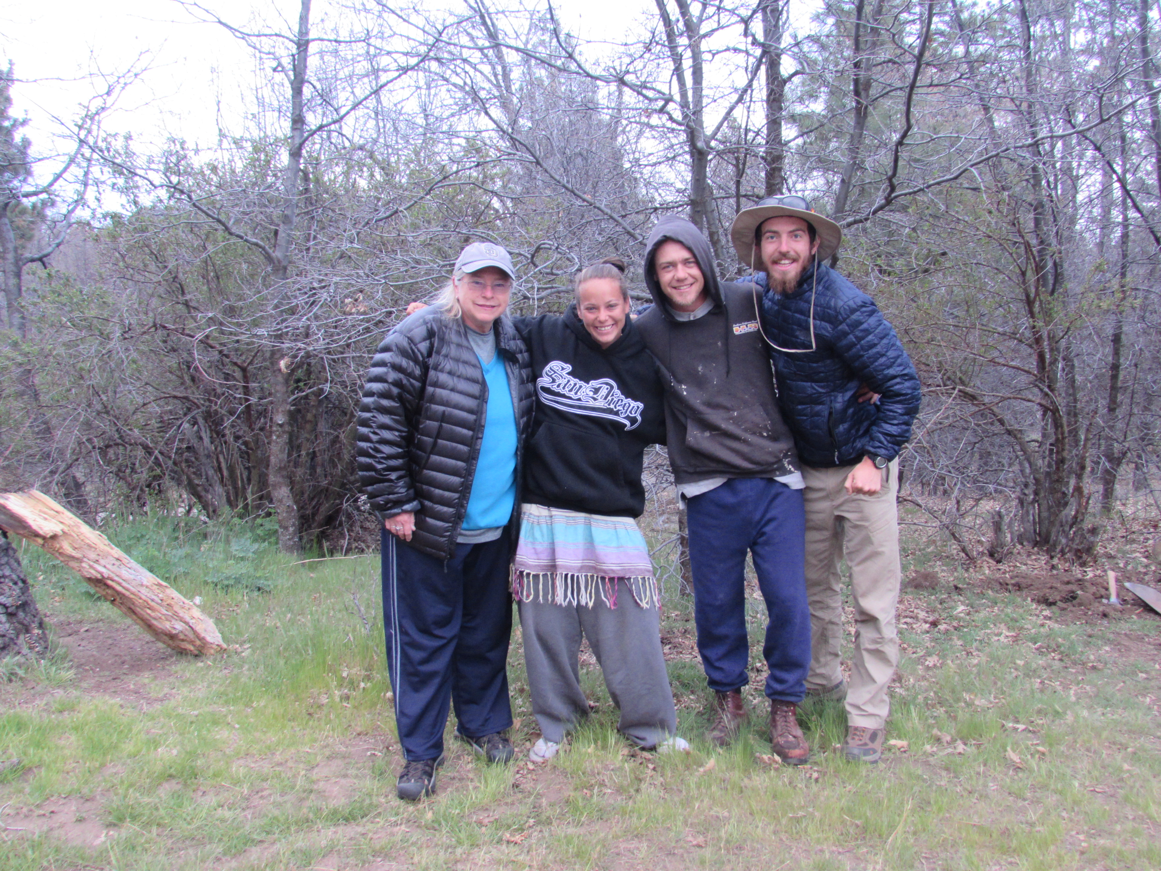
Trail Angels at the Mount Laguna Campground
The Landscapes
Words cannot describe the beauty I have seen these past few weeks, so I will stop my writing here and leave you with my favorite landscape photos I’ve taken. If you’d like to see all of my photos and videos, visit my Pacific Crest Trail Pictures Page and see everything in full size.
Desert View Outside Campo
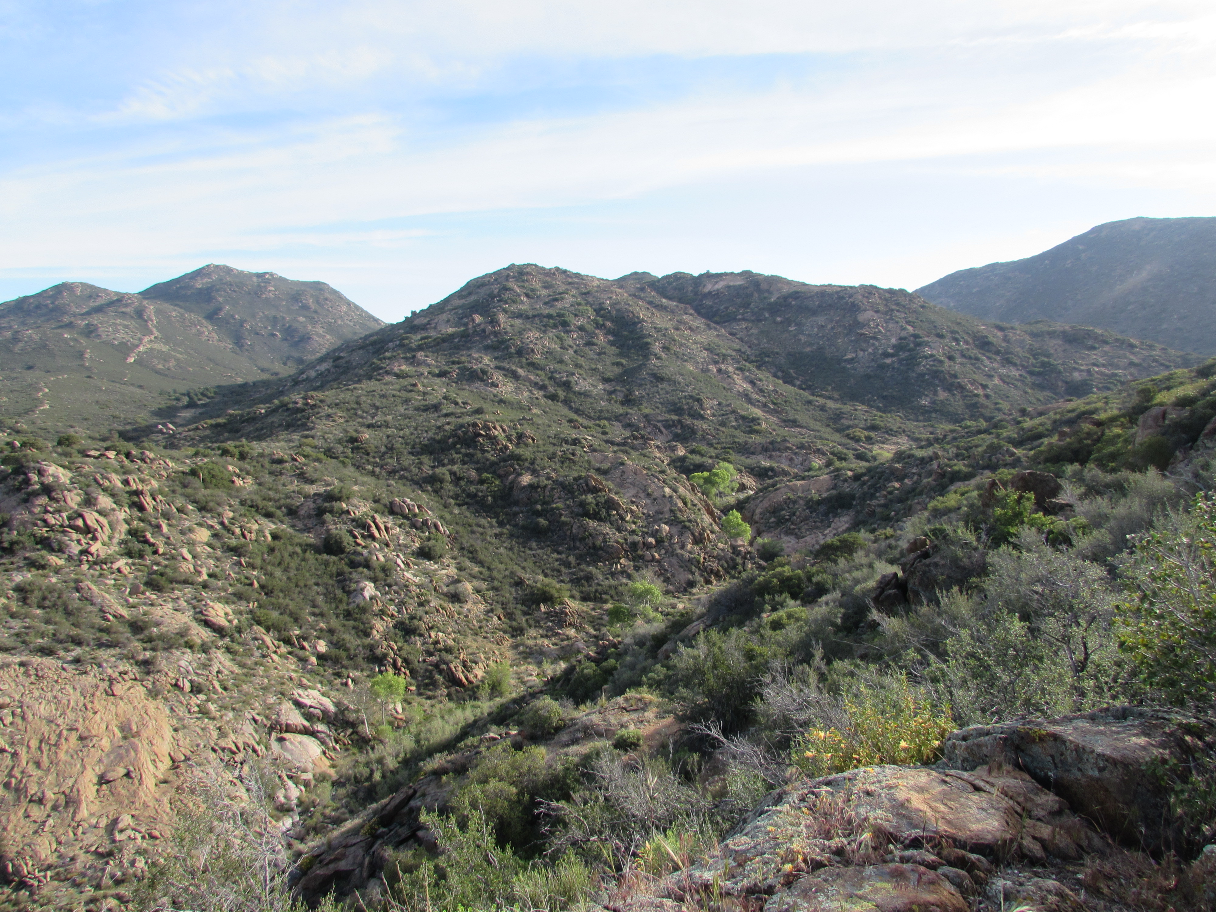
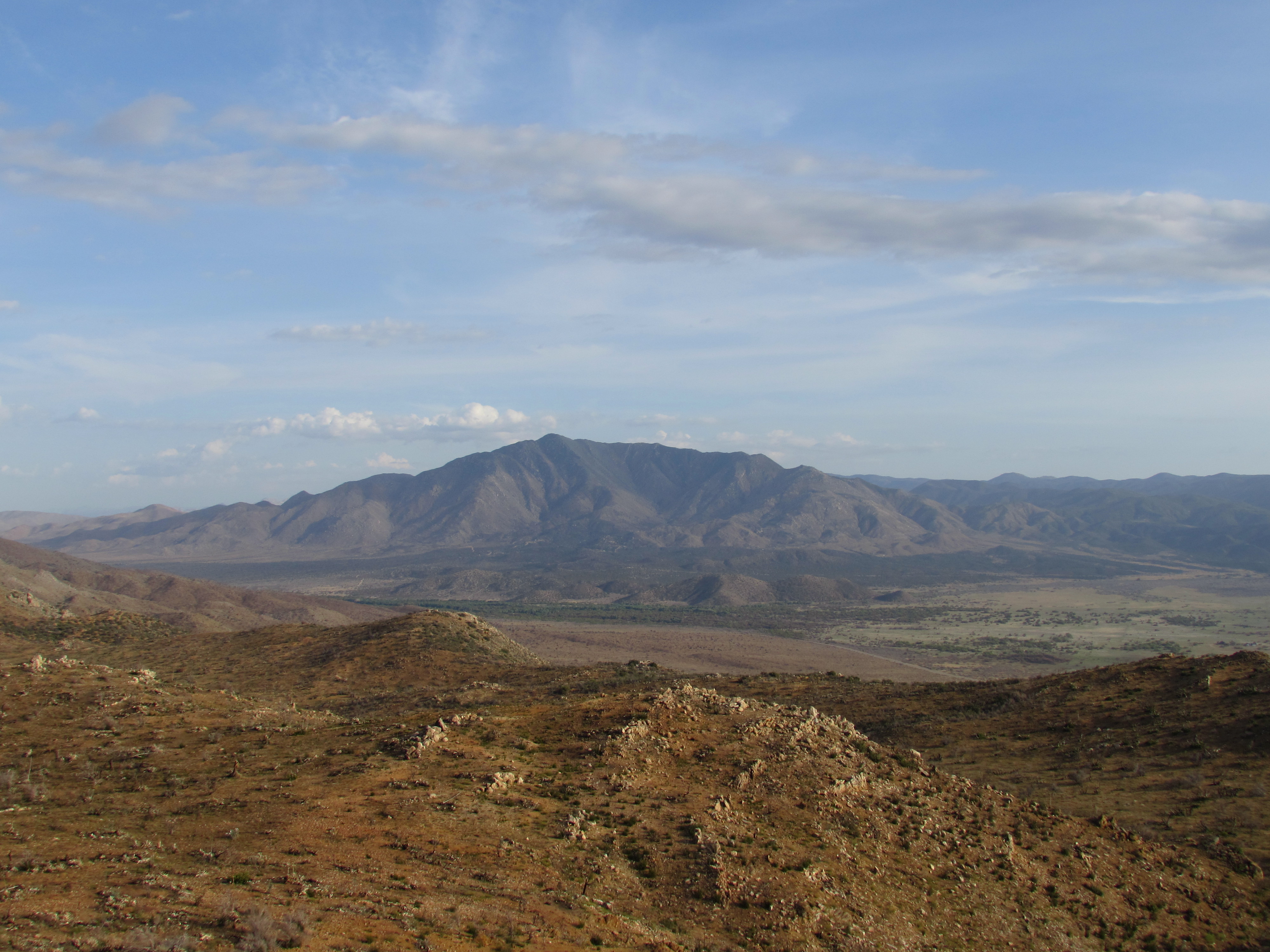
Desert View from Mount Laguna
San Jacinto Mountains
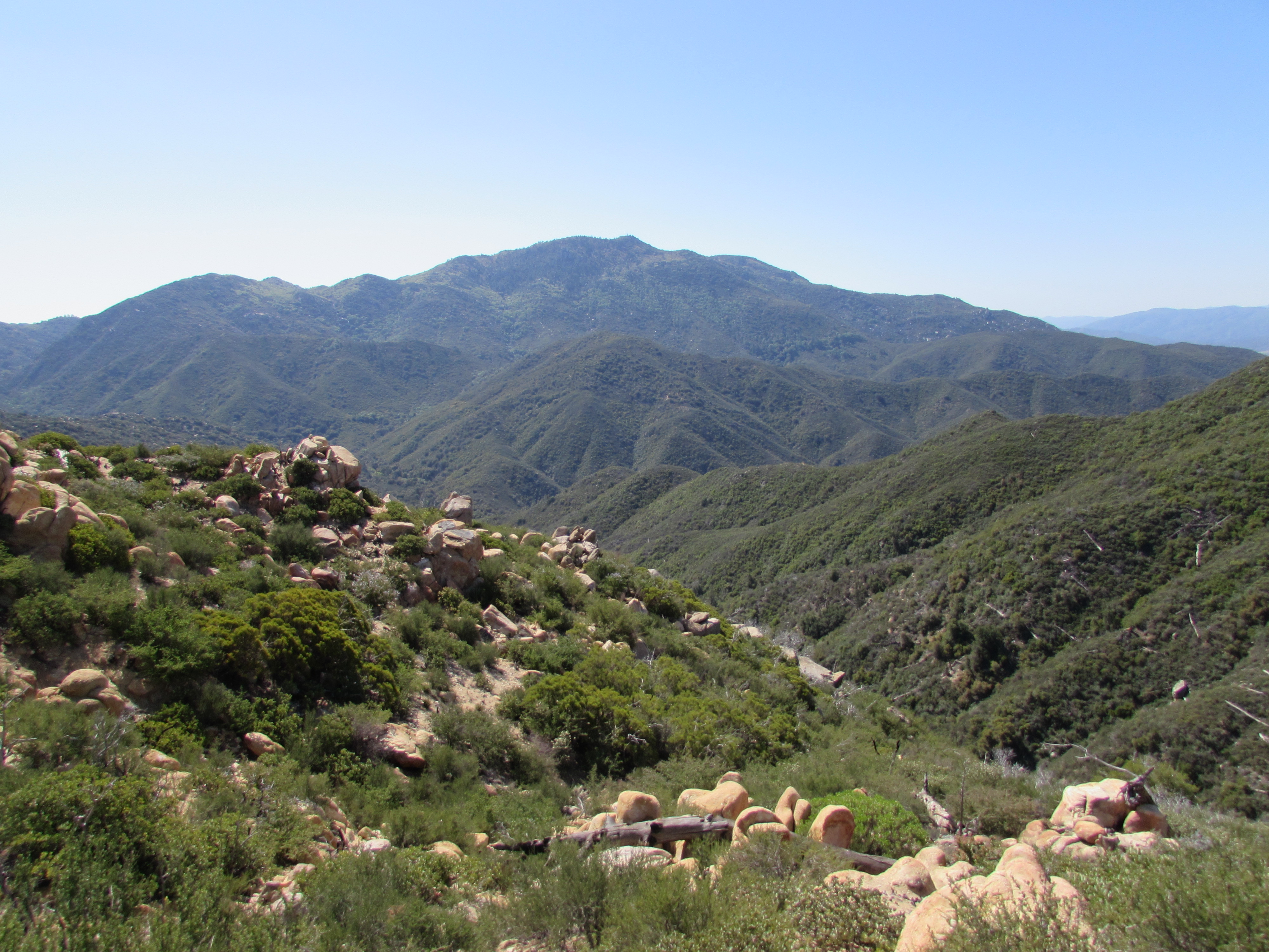
San Jacinto Mountains
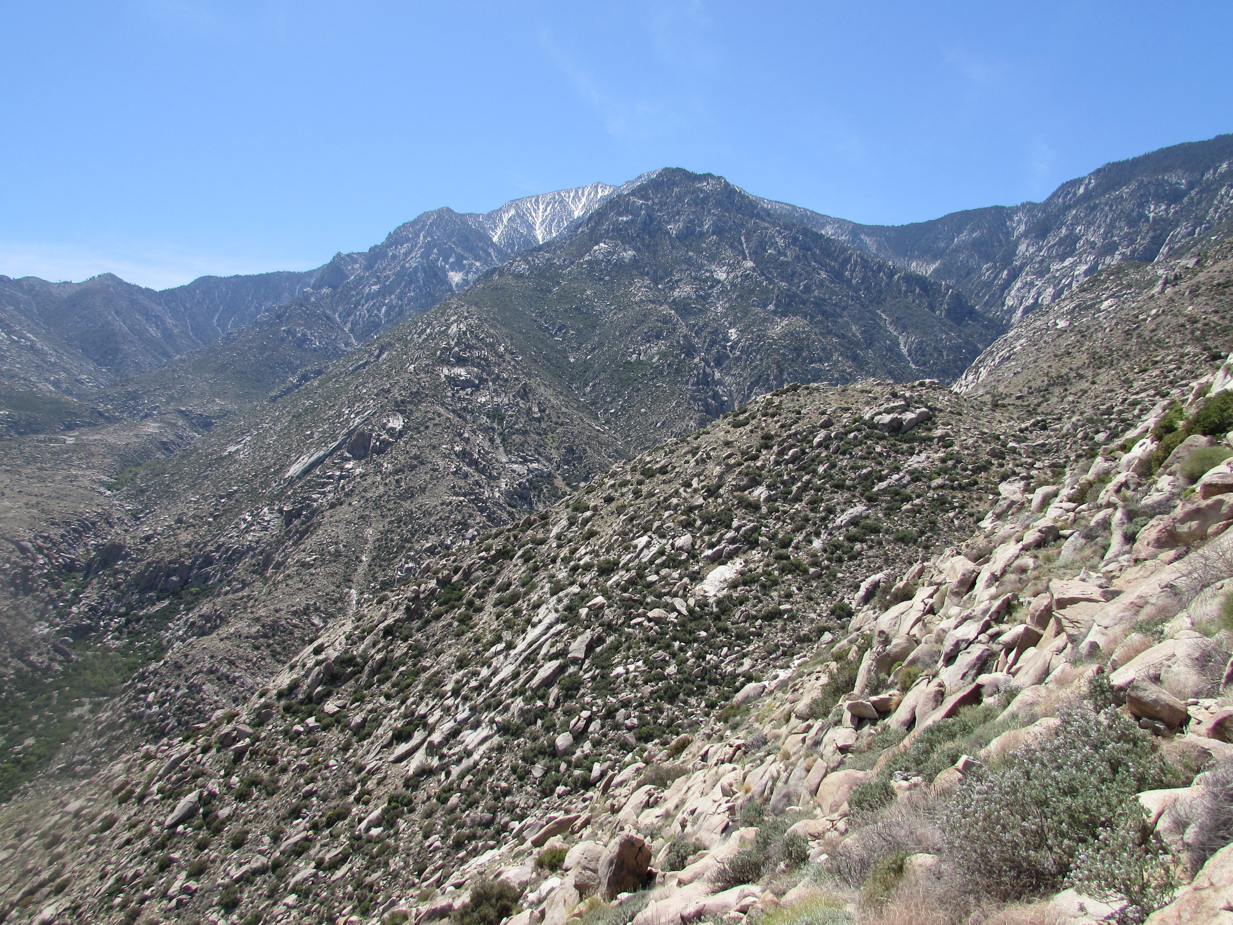
Fuller Ridge on Mount San Jacinto
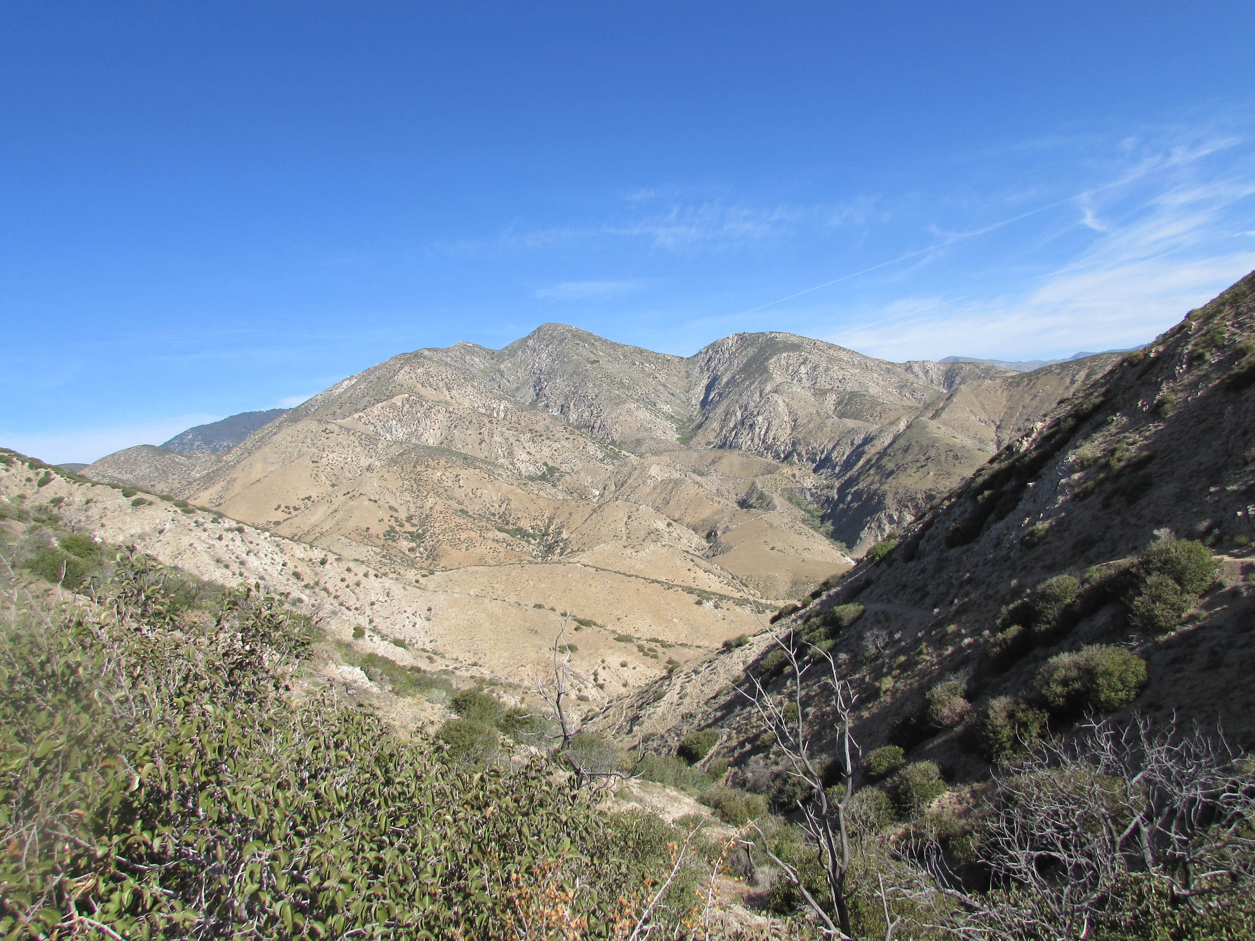
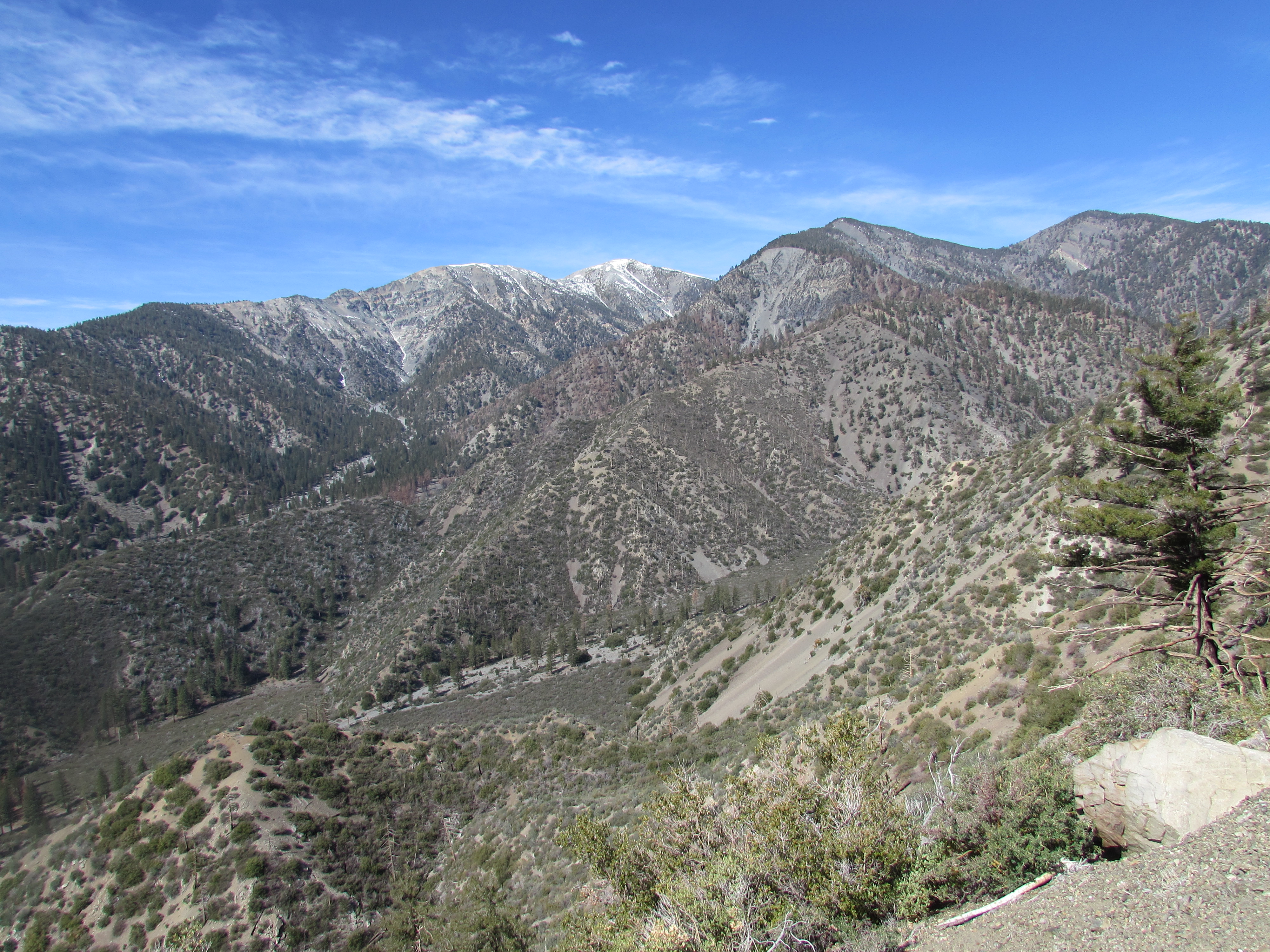
Mount San Gorgonio
Snow on Mount San Gorgonio

Big Bear Lake in the San Bernardino Mountains
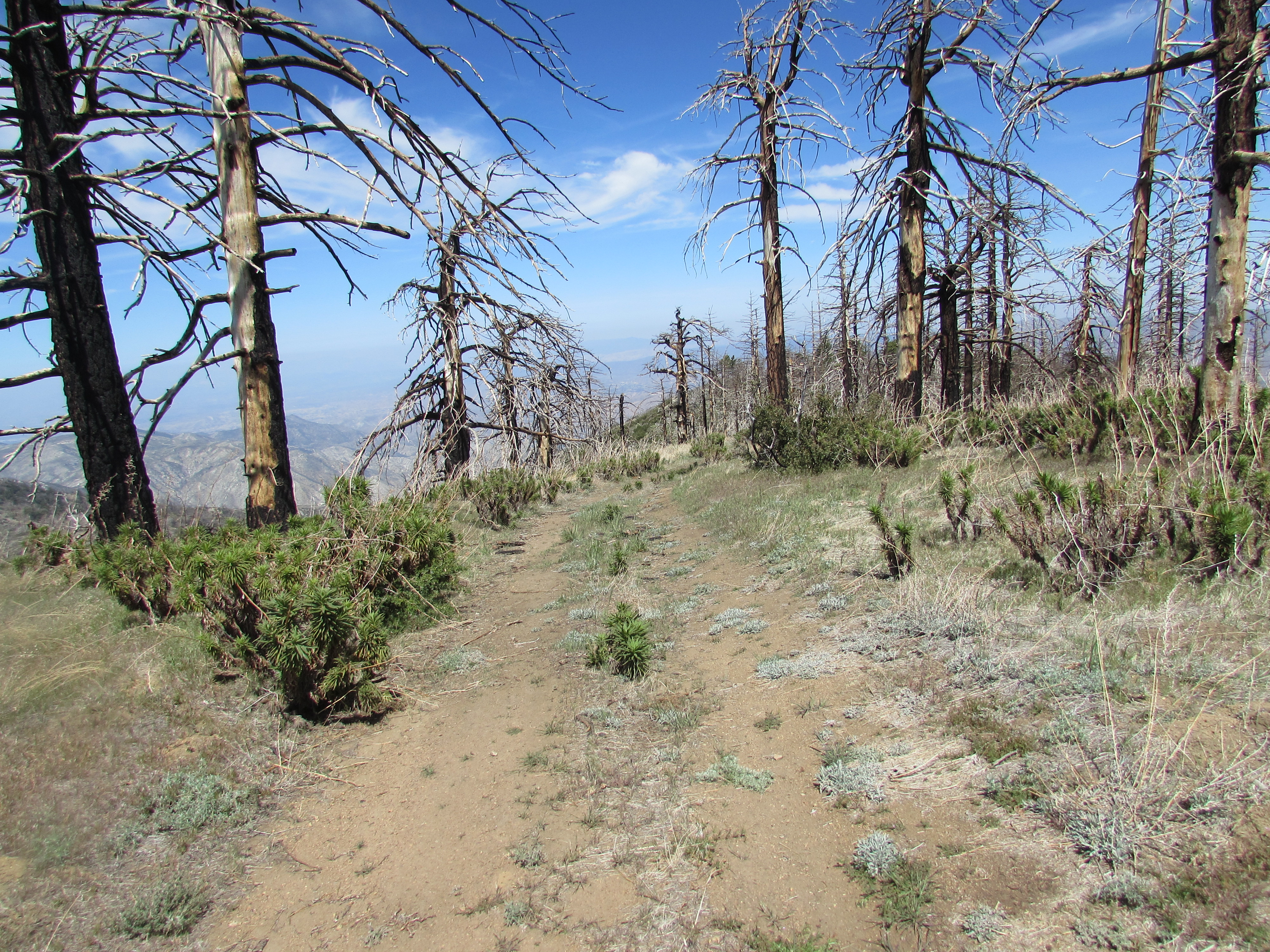
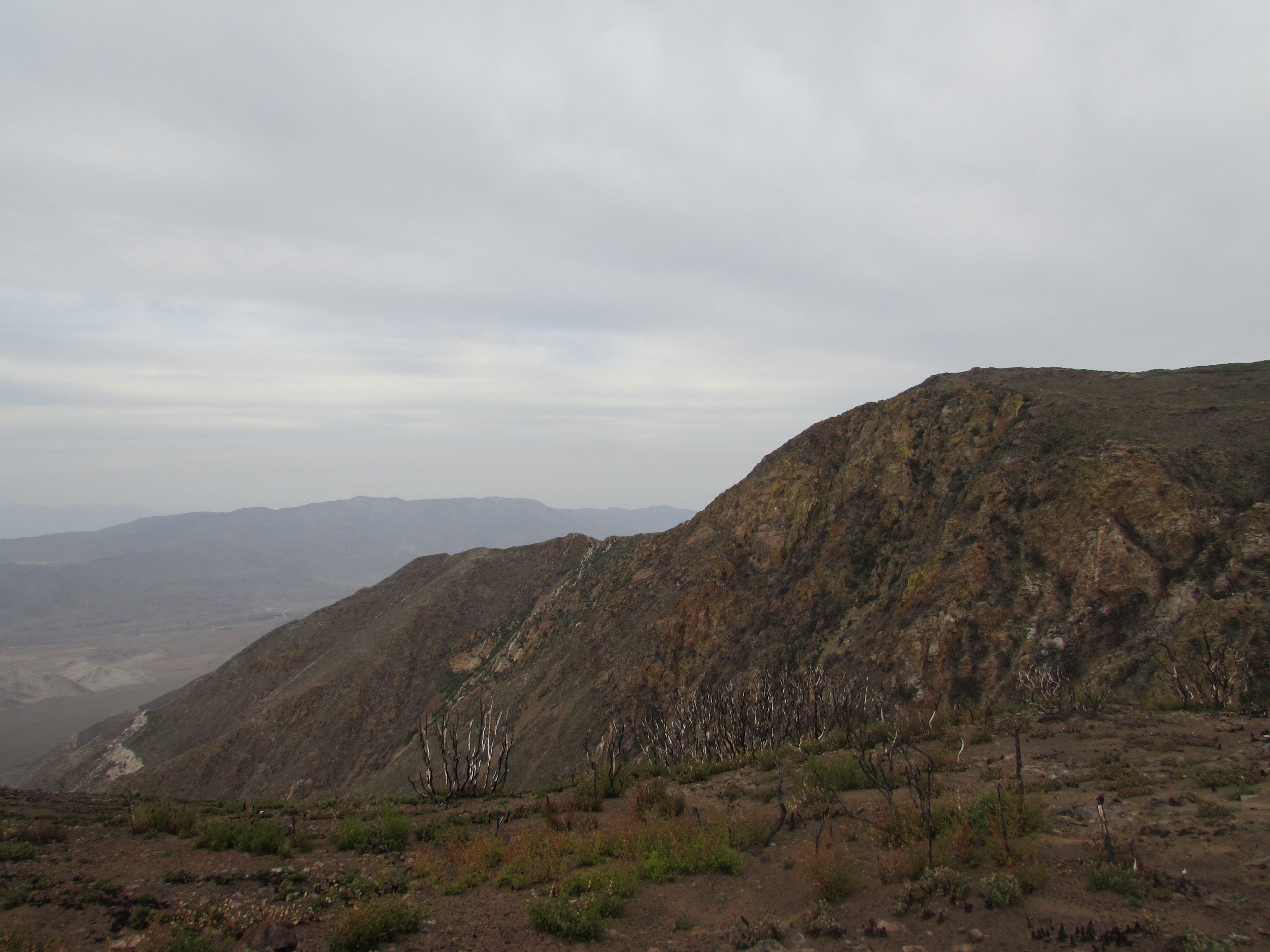
San Gabriel Mountains
5 Responses to Call Me Coaster